|
|
|
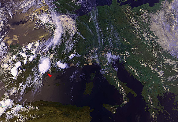
21 July 1989 1537 UTC NOAA 9 Northeast Spain (Aragon, close to Zaragoza) |
|
|
|
|
This case nicely illustrates the "snapshot" character of the NOAA/AVHRR data, their major disadvantage. When looking at the ch3enh image, we can only guess what was the "history" of the cloud top which resulted into what we are looking at now, at the time of the satellite pass. We can see a region of increased reflectivity surrounding the storm's core, however at the very center of this area the reflectivity is low again. This can be explained by variations of the processes that generate ice particles into the storm's cloud top - at certain time before this image was taken the storm had been generating highly reflective particles, which have been replaced by "normal" ones later on (a state which lasts at the time of the satellite pass). |