|
|
|
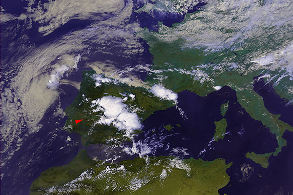
20 July 1991 1404 UTC NOAA 11 Central and eastern Spain |
|
|
|
|
This is the other variation of increased reflectivity "concentrated" around storm's core. In contrary to the previous case, the areas of increased reflectivity are smudged, dissipating with distance from its centers, where the "stuff" responsible for the reflectivity increase seems to be generated. Notice that shape and position of the areas of increased reflectivity above the storms at southeast part of the image do NOT match exactly the coldest tops, they seem to be shifted downwind. This is not the case for storms at center and northwest part of the image where the increased reflectivity is more or less co-located with the coldest cloud top regions. |